Close
Approach Words: Comprehensive Management, Smart City, Sustainability
Public Policy Instruments: Communicative, Planning
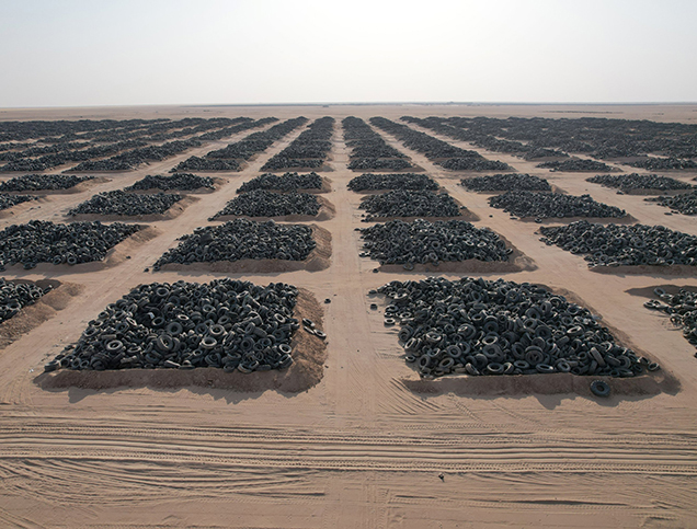
The Solid Waste Mapping project in Mogadishu is a targeted sub-component of the Somalia Urban Resilience Project Phase II (SURP-II),i jointly supported by the World Bank and the Federal Government of Somalia.1 The initiative is designed to diagnose Mogadishu’s existing solid waste management (SWM) system across 17 districts and pilot data-driven interventions that strengthen municipal capacities to deliver improved waste services in fragile and conflict-affected contexts.2
The project’s vision is to “enable resilient, efficient, and health-protective urban waste services in Mogadishu by equipping local authorities with reliable, real-time information and practical intervention models.”3 Its main aims are to:4
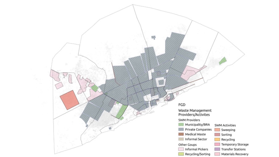
Title: Map Showing Different Waste Management Activities in Mogadishu.
Source: Click Here
Title: Map Showing Different Waste Management Activities in Mogadishu.
Source: Click Here
To achieve these objectives, the initiative combines geospatial analysis, participatory research and field validation. Key components include:5


Funder

Funder
The project is delivered through collaboration among multiple stakeholders: the Benadir Regional Administration (BRA) acts as the lead local authority, facilitating community engagement and overseeing implementation; the Federal Government of Somalia provides national coordination and policy alignment; the World Bank supplies financing and technical guidance;6 the Humanitarian OpenStreetMap Team and OSM Somalia support geospatial mapping, digitization and local capacity building;7 technical consultants and mapping specialists deliver field assessments, drone-based mapping, and infrastructure analysis; and local communities and civil society organizations ground-truth mapped data, document informal practices, and lead outreach and behavior-change campaigns.8
Project Link
Endnotes
References
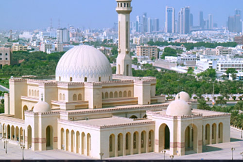
An online library where you can explore relevant data on urban development in the Arab cities.
More


Lorem ipsum dolor sit amet consectetur. Lacus nibh neque erat massa elementum. Ultricies ante sed sed nunc massa ider.
Last updated 3 mins ago
Lorem ipsum dolor sit amet consectetur. Lacus nibh neque erat massa elementum. Ultricies ante sed sed nunc massa ider.
Last updated 3 mins ago
Lorem ipsum dolor sit amet consectetur. Lacus nibh neque erat massa elementum. Ultricies ante sed sed nunc massa ider.
Last updated 3 mins ago
Lorem ipsum dolor sit amet consectetur. Lacus nibh neque erat massa elementum. Ultricies ante sed sed nunc massa ider.
Last updated 3 mins ago
Lorem ipsum dolor sit amet consectetur. Lacus nibh neque erat massa elementum. Ultricies ante sed sed nunc massa ider.
Last updated 3 mins ago
Lorem ipsum dolor sit amet consectetur. Lacus nibh neque erat massa elementum. Ultricies ante sed sed nunc massa ider.
Last updated 3 mins ago