Close
Approach Words: Environment Preservation, Urban Livability, Urban Resilience
Public Policy Instruments: Physical Intervention, Planning
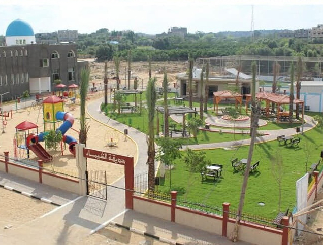
The Tripoli Green Belt is a major urban development initiative located in Tripoli, Libya, designed to address the pressing need for green and public spaces after decades of unplanned growth. It aims to establish a natural boundary separating the historic center from peripheral areas and offer a diverse array of landscapes and activities.1
The project envisions Tripoli as a “sustainable and high-quality urban environment,” with a focus on enhancing green spaces and public areas. The Tripoli Green Belt project prioritizes accessibility, environmental sustainability, and quality of life.2 3
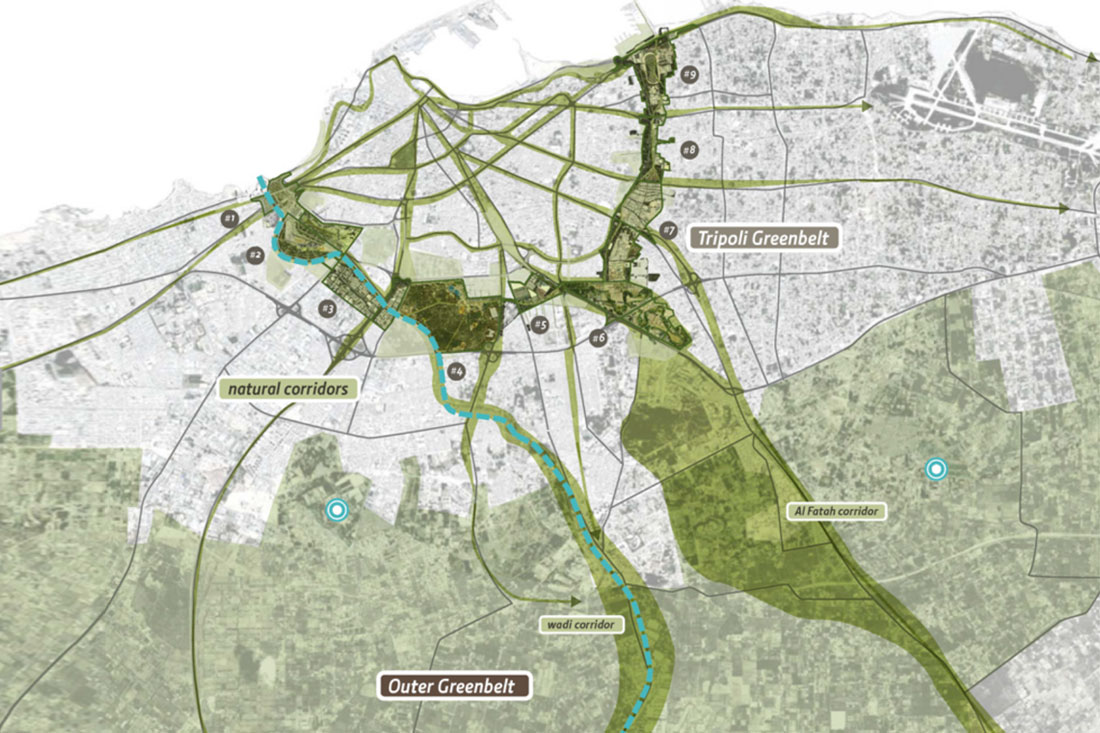
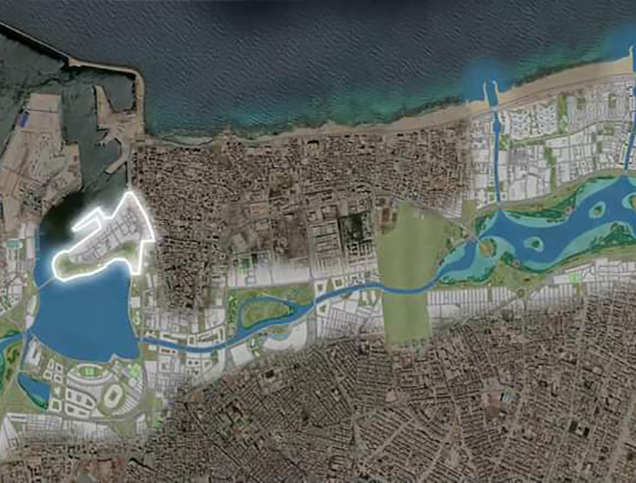
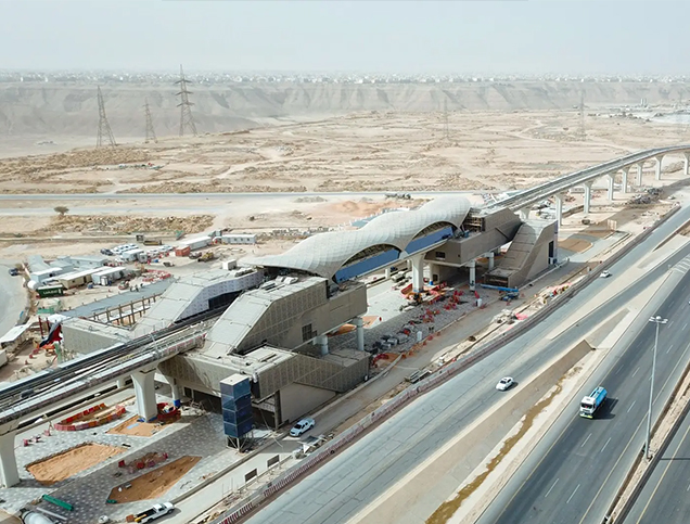
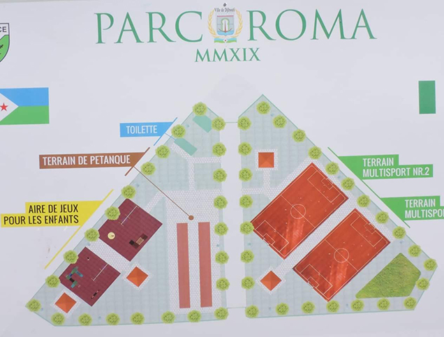
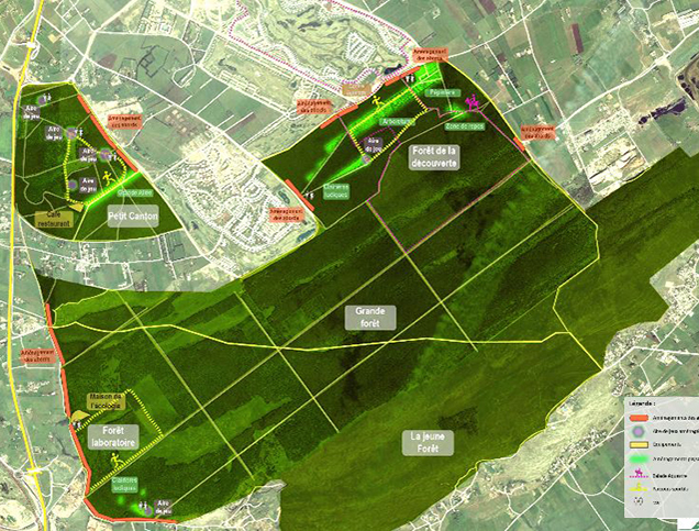
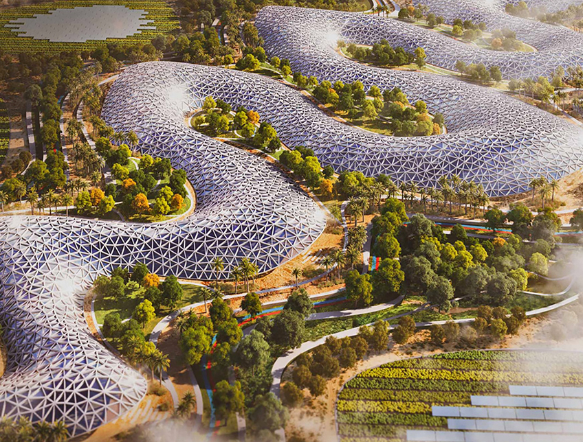
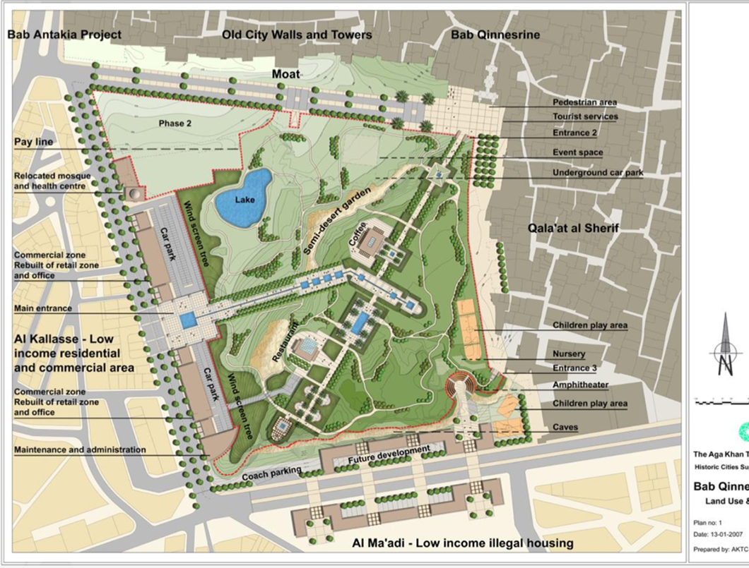
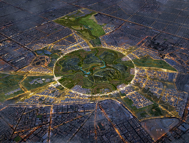
Title: Master Plan of the Tripoli ‘Green Belt’.
Source: Click Here
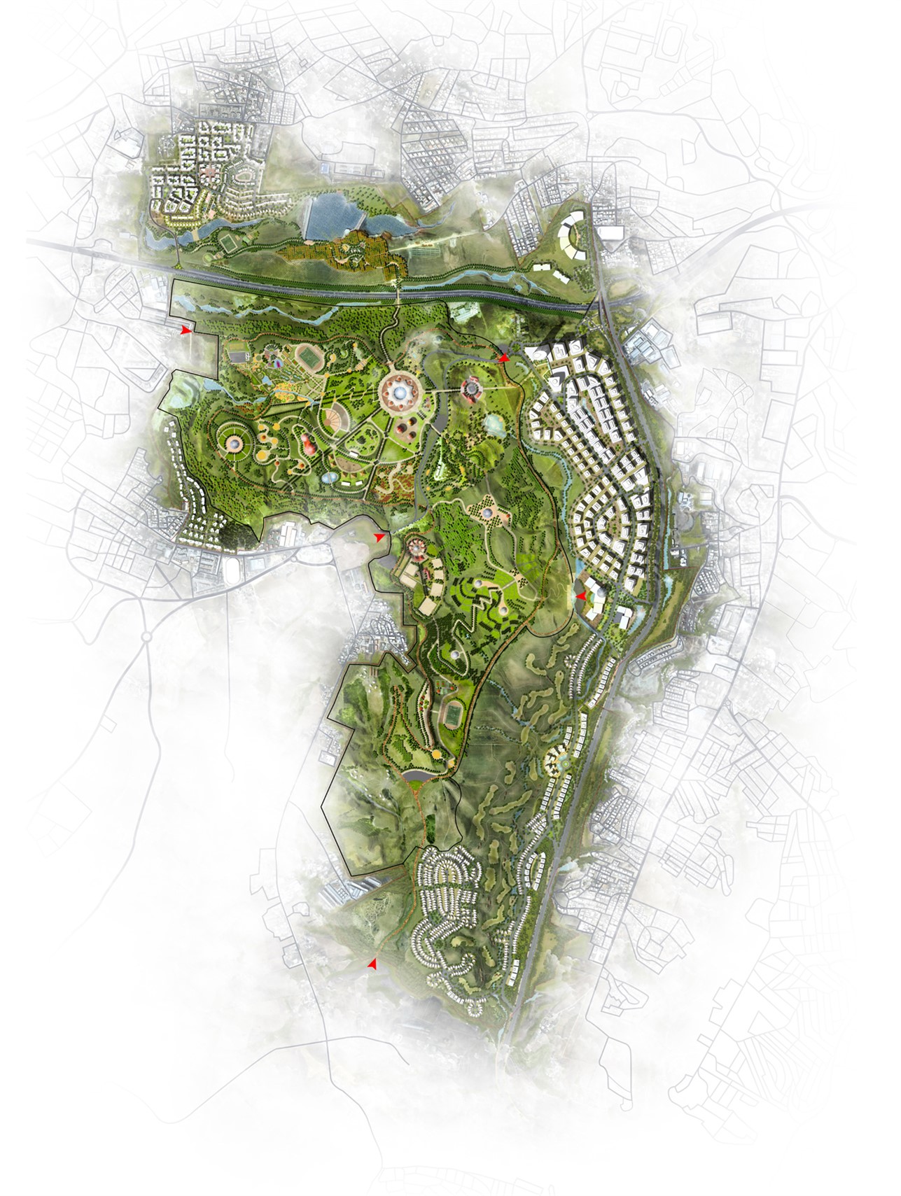
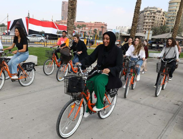
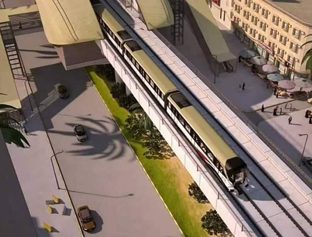
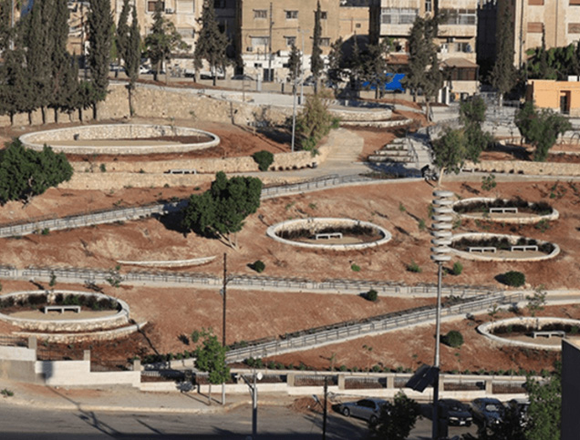
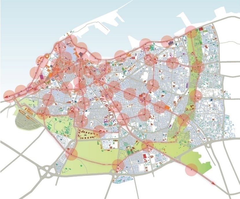
Title: Tripoli ‘Inner Green Belt’ master plan.
Source: Click Here
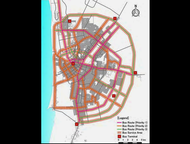
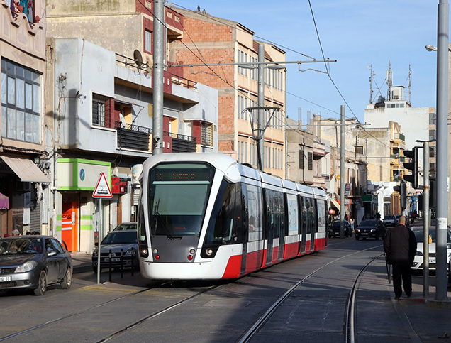
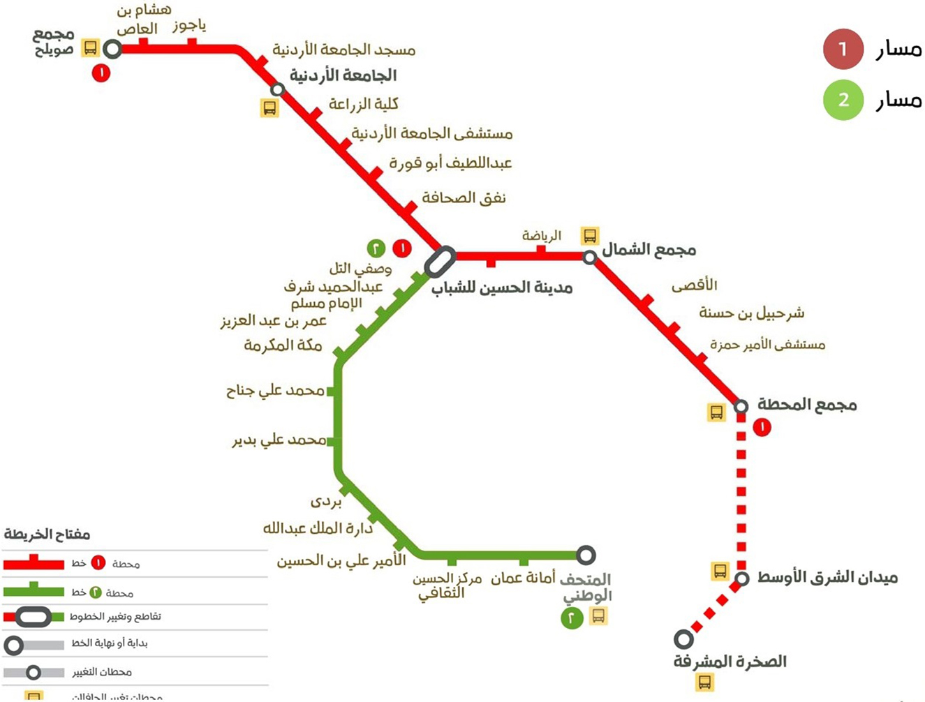
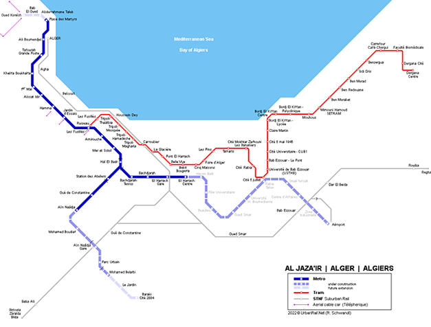
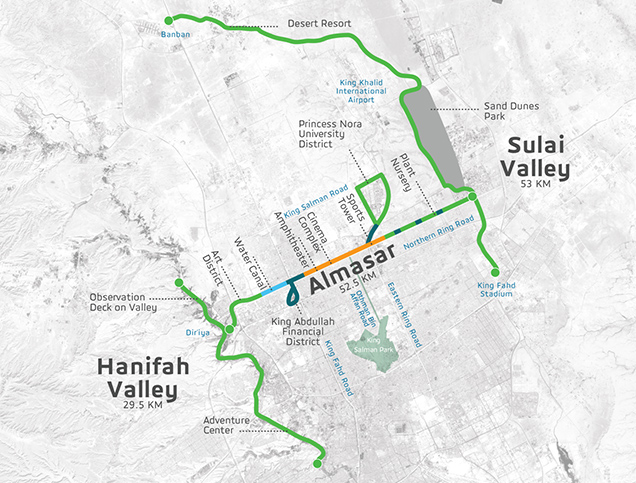
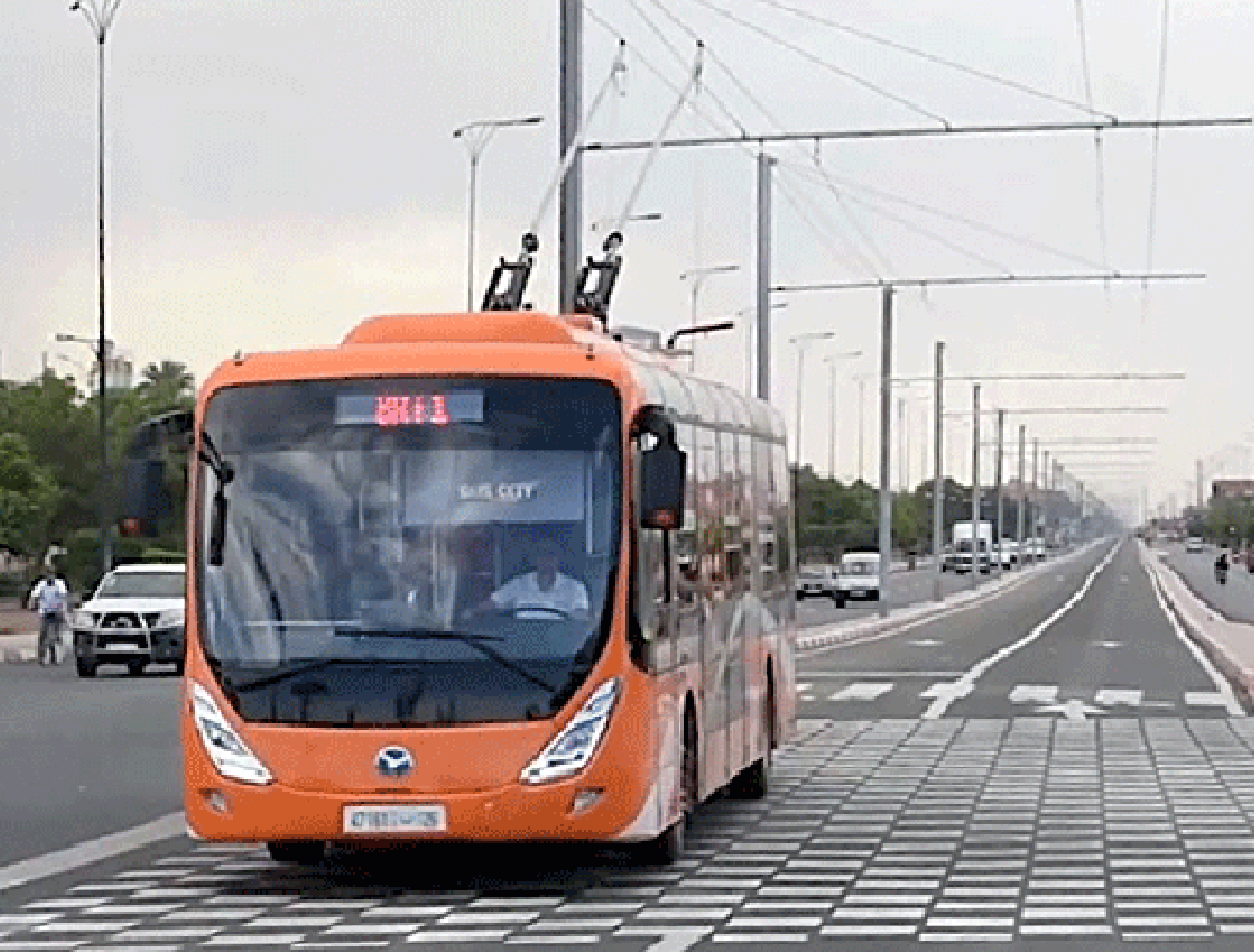
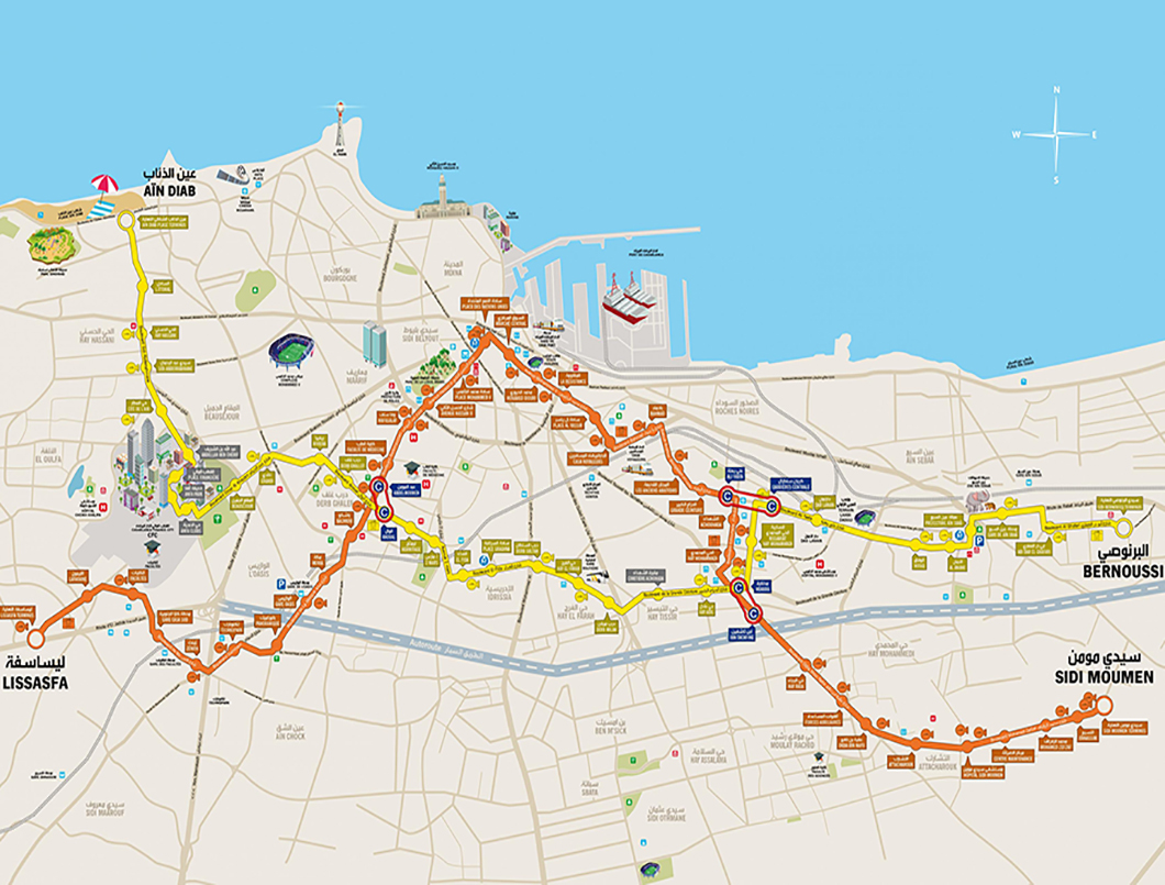
Title: Urban Mobility Master Plan for Tripoli ‘Inner Green Belt’ Biking Routes and Bike Sharing Stations.
Source: Click Here
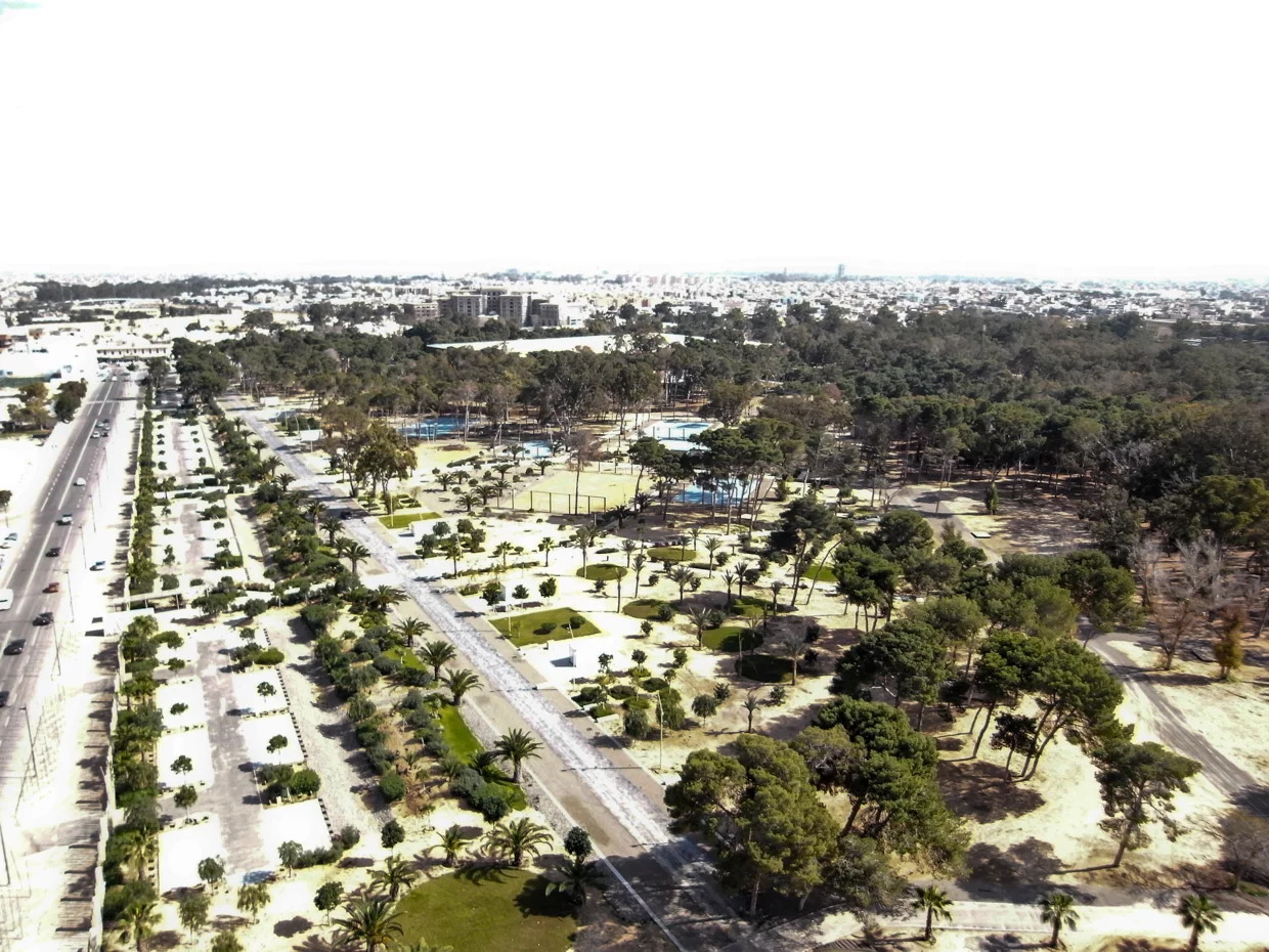
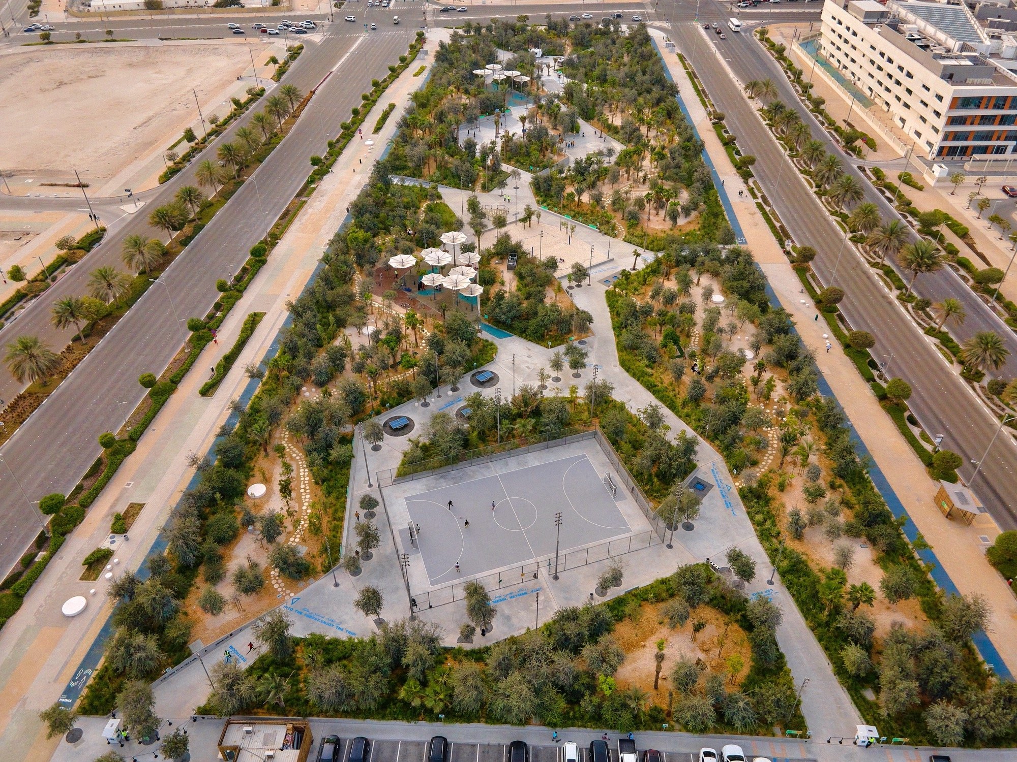
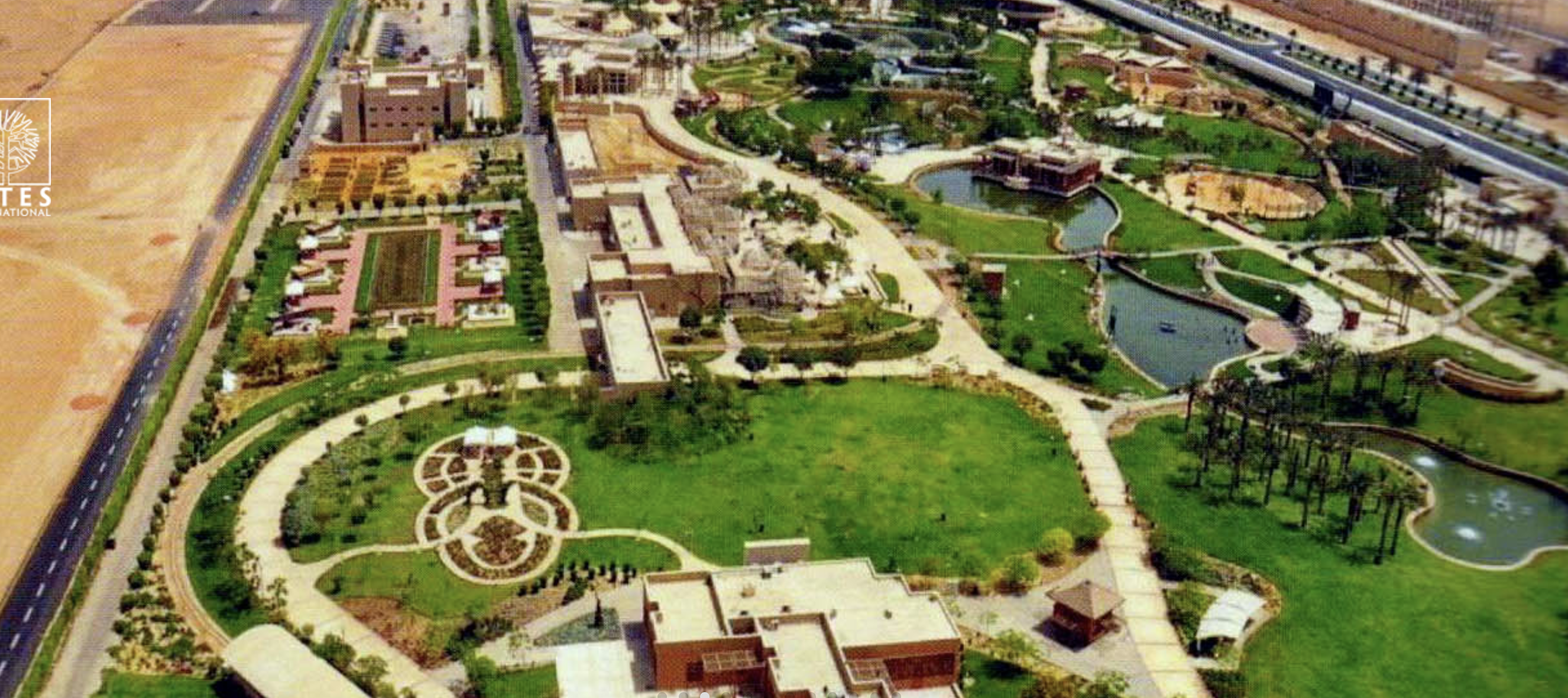
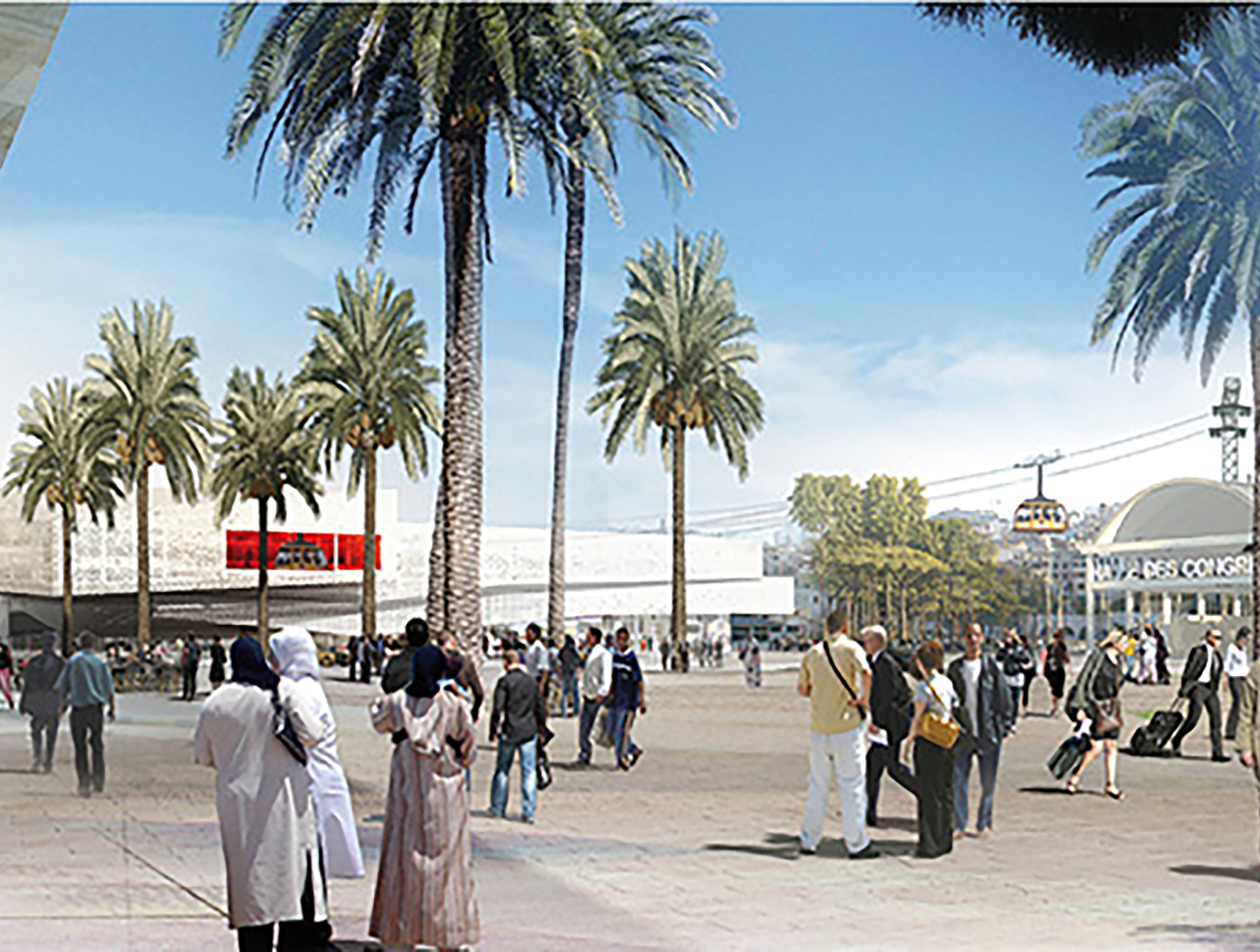
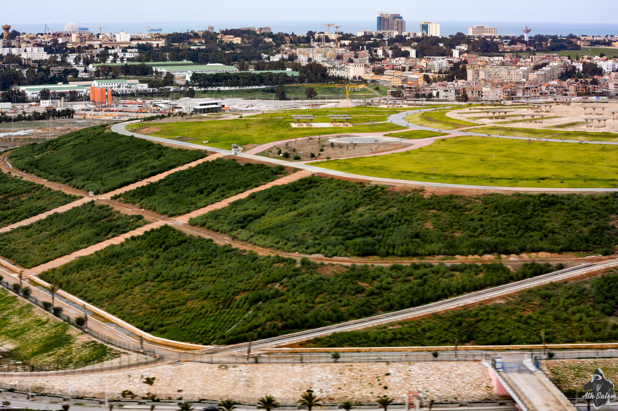
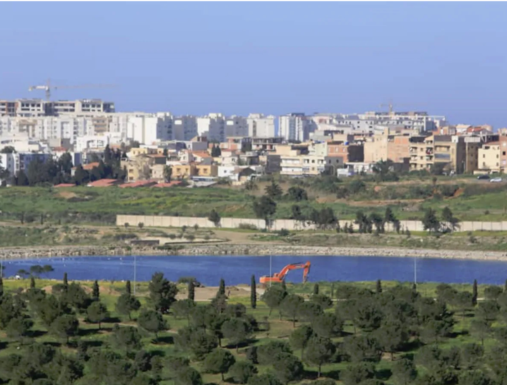
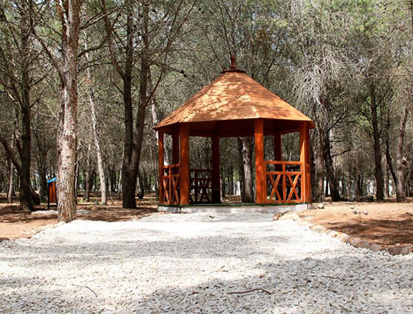
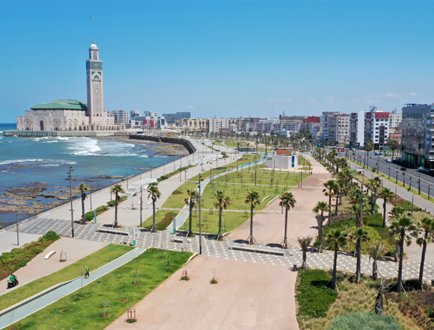
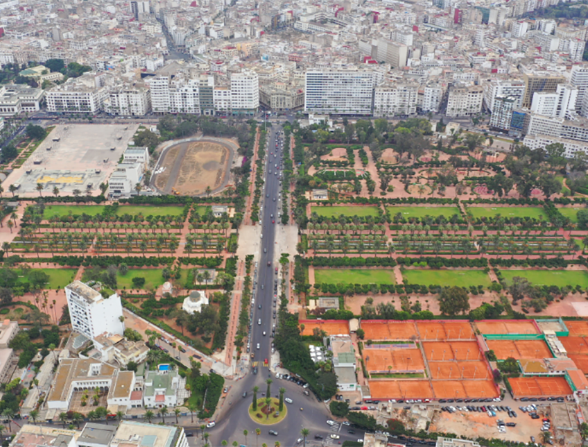
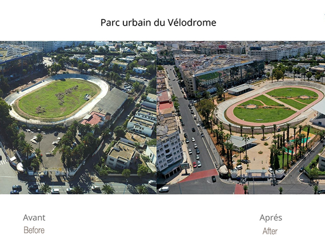
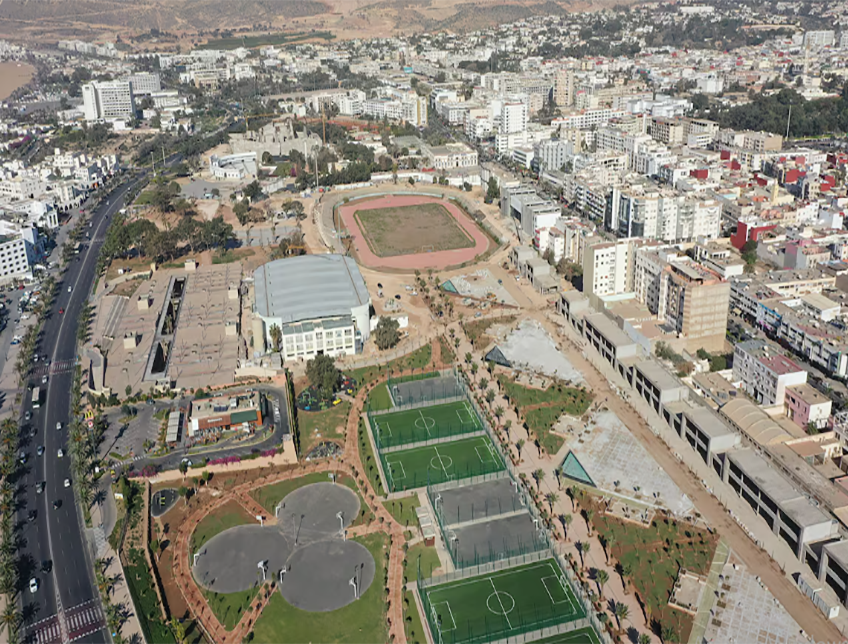
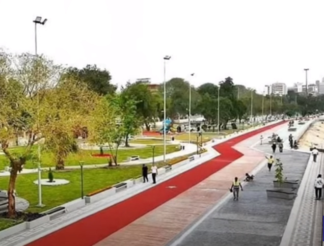
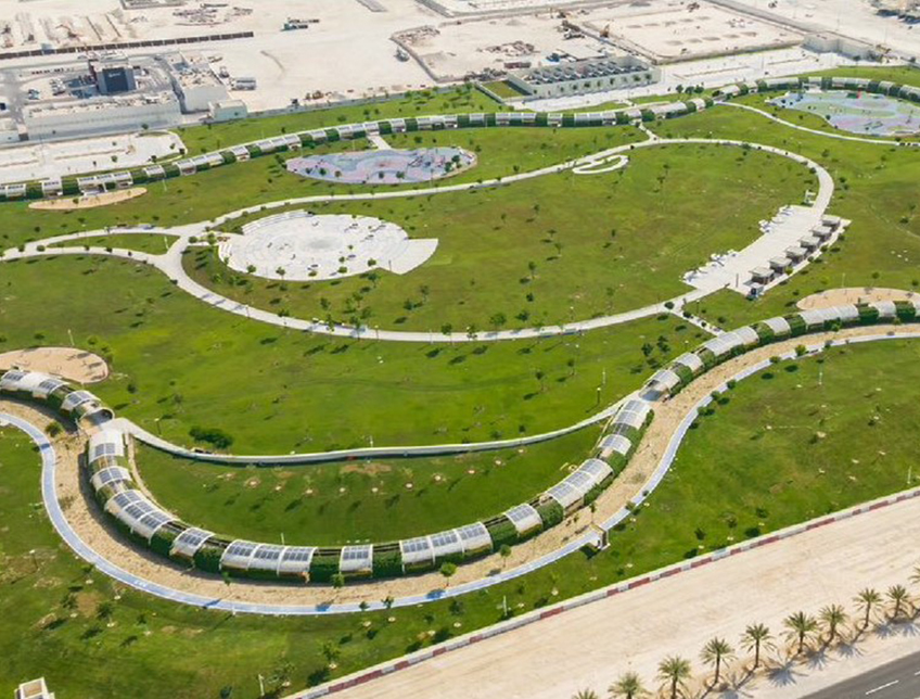
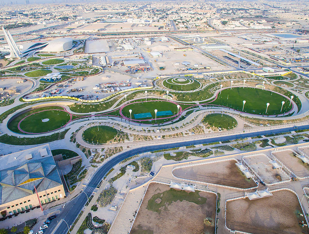
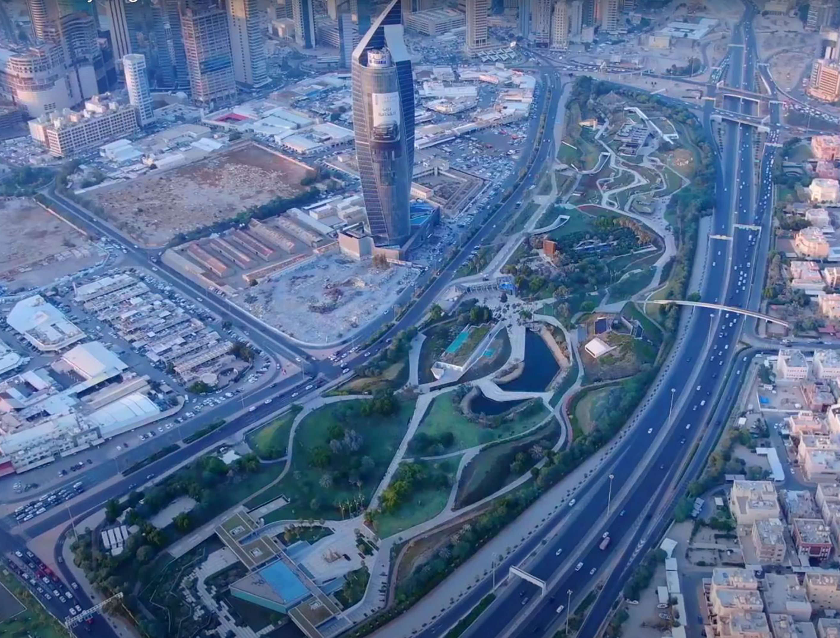
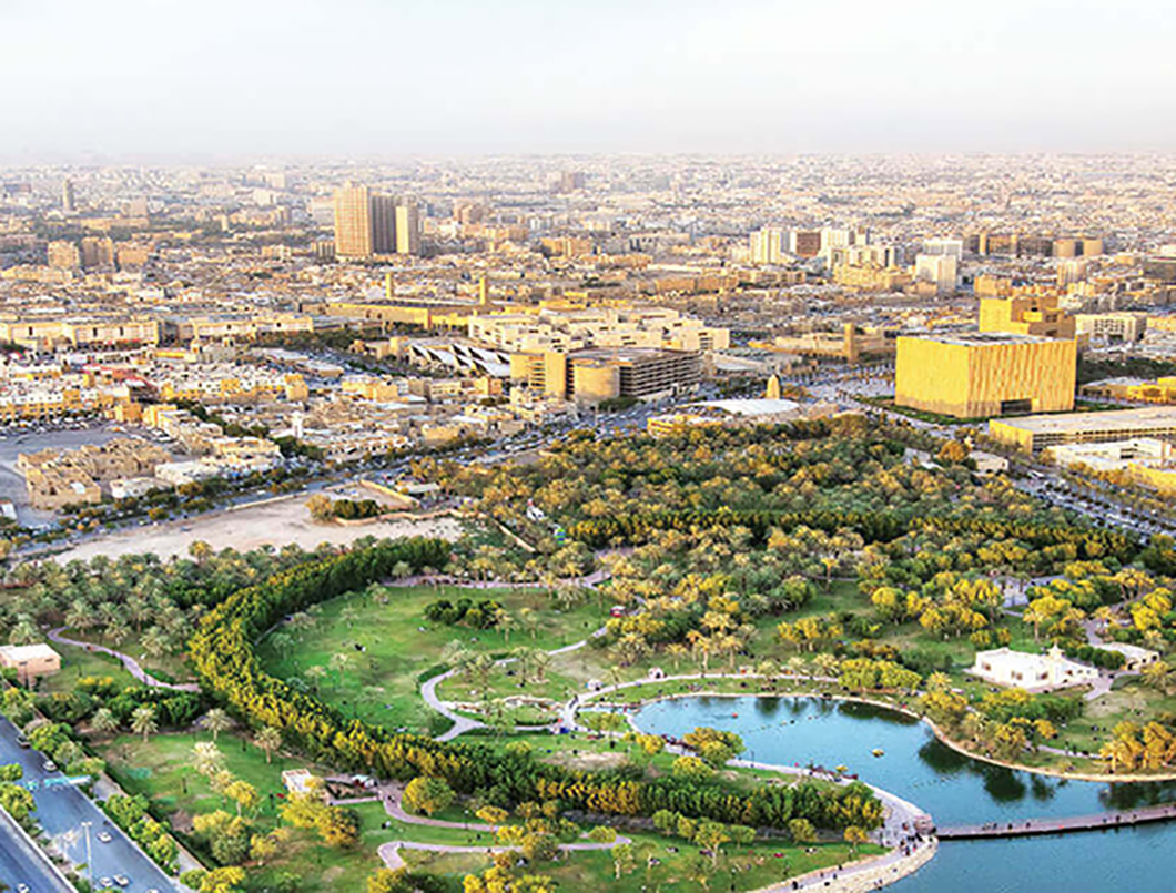
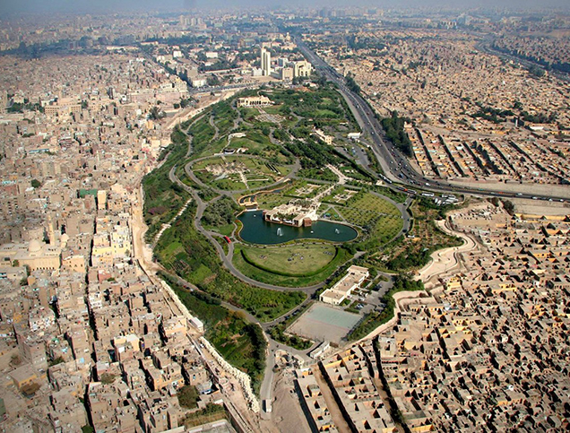
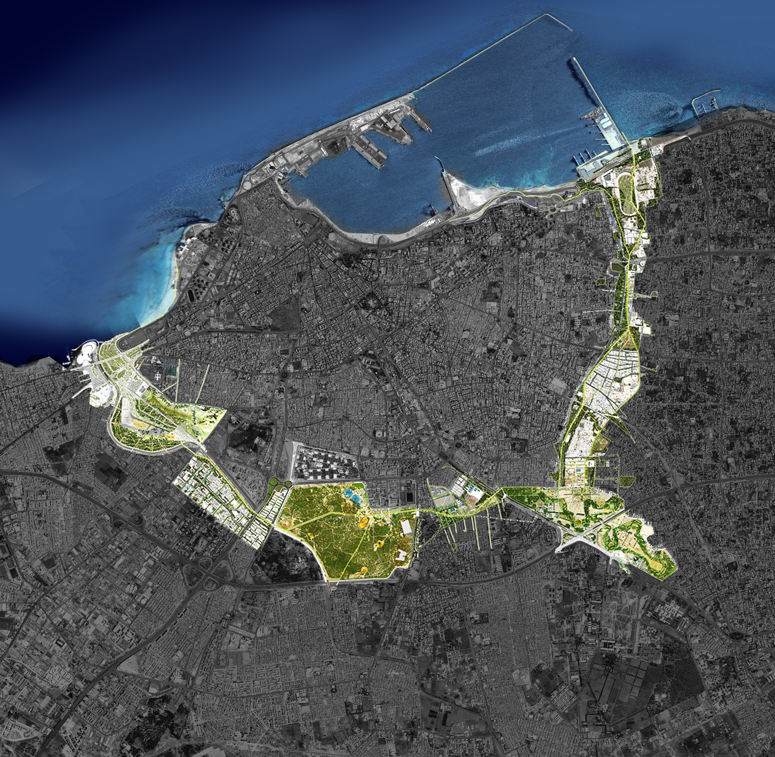
Title: Aerial View of a Green Belt Development in Tripoli.
Source: Click Here
Title: Master Plan of the Tripoli ‘Green Belt’.
Source: Click Here
Title: Tripoli ‘Inner Green Belt’ master plan.
Source: Click Here
Title: Urban Mobility Master Plan for Tripoli ‘Inner Green Belt’ Biking Routes and Bike Sharing Stations.
Source: Click Here
Title: Aerial View of a Green Belt Development in Tripoli.
Source: Click Here
To implement these objectives, the Green Belt Project integrates parks, pedestrian paths, and green corridors, spanning 700 hectares across 4.5 million square meters.4 Key components include:
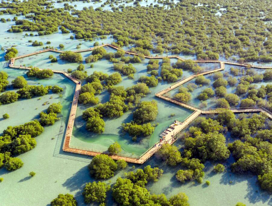
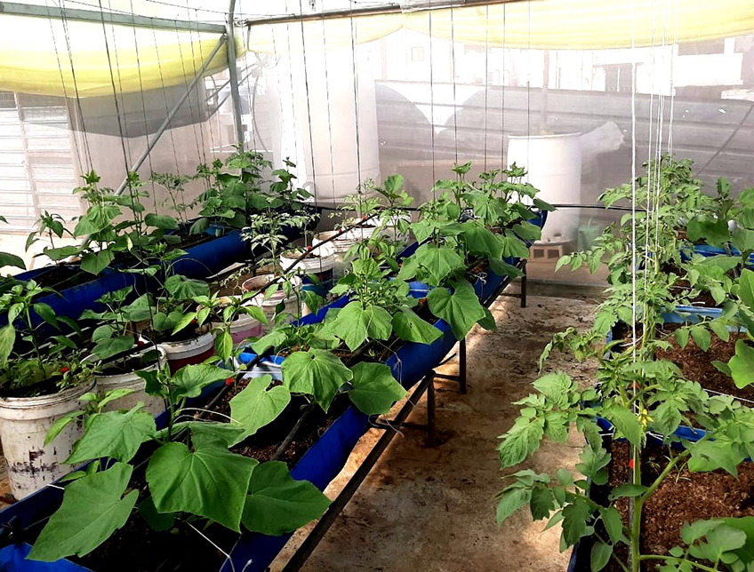
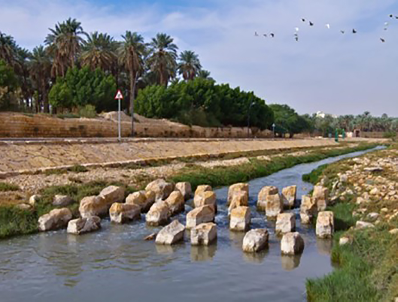
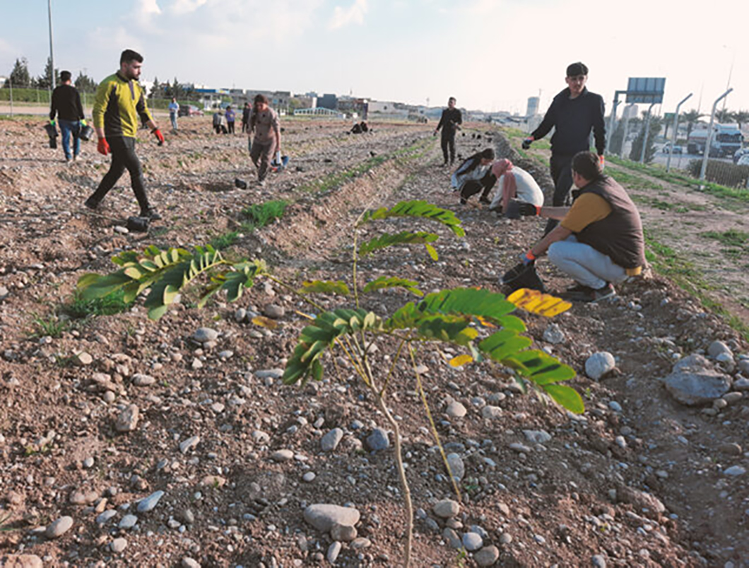
Sustainability measures in the project include daily treatment of 40,000 cubic meters of wastewater for irrigation, creation of an ecological corridor to preserve natural habitats,11 and integration of modern water conservation techniques and landscape restoration practices.12 Furthermore, it employs 700 workers to maintain these green spaces.

Owner/Developer (Public)
ODAC Organization for the Development of Administrative Centres18

Owner/Developer


Funder

Contractor/Implementer
Owner/Developer (Public)
ODAC Organization for the Development of Administrative Centres18
Owner/Developer
Contractor/Implementer
Funder
Developed through\ collaboration between the Engineering and Consulting Office for Utilities (ECOU) and renowned international designers, including Gilles Clément, Coloco, Zaha Hadid, and Rem Koolhaas,13 14 the project integrates expertise in urban planning, traffic management, and sustainable infrastructure.15
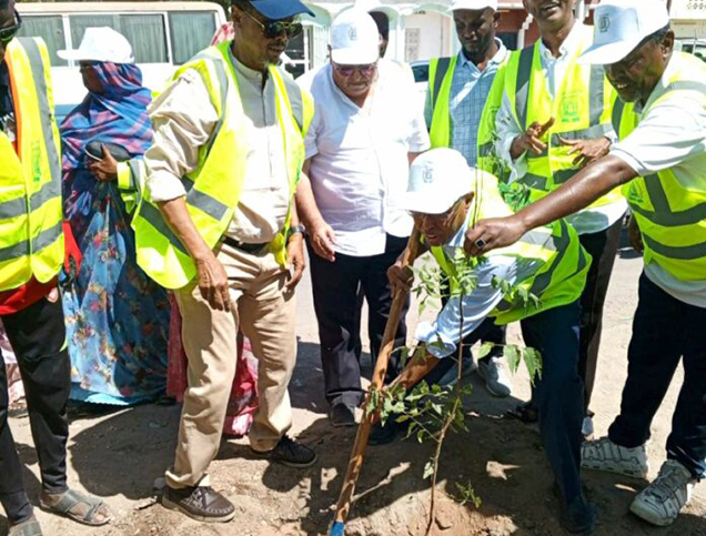
Construction began in 2009 with the completion of the 132-hectare Gabat al Nasr forest park in 2011,16 followed by partial development of Suq al Tulata arid park. Four additional parks are under study, with two in detailed design.17
Project Link
https://cargocollective.com/tripoligreenbelt
Endnotes
N.A.
References
An online library where you can explore relevant data on urban development in the Arab cities.
More


Lorem ipsum dolor sit amet consectetur. Lacus nibh neque erat massa elementum. Ultricies ante sed sed nunc massa ider.
Last updated 3 mins ago
Lorem ipsum dolor sit amet consectetur. Lacus nibh neque erat massa elementum. Ultricies ante sed sed nunc massa ider.
Last updated 3 mins ago
Lorem ipsum dolor sit amet consectetur. Lacus nibh neque erat massa elementum. Ultricies ante sed sed nunc massa ider.
Last updated 3 mins ago
Lorem ipsum dolor sit amet consectetur. Lacus nibh neque erat massa elementum. Ultricies ante sed sed nunc massa ider.
Last updated 3 mins ago
Lorem ipsum dolor sit amet consectetur. Lacus nibh neque erat massa elementum. Ultricies ante sed sed nunc massa ider.
Last updated 3 mins ago
Lorem ipsum dolor sit amet consectetur. Lacus nibh neque erat massa elementum. Ultricies ante sed sed nunc massa ider.
Last updated 3 mins ago