Close
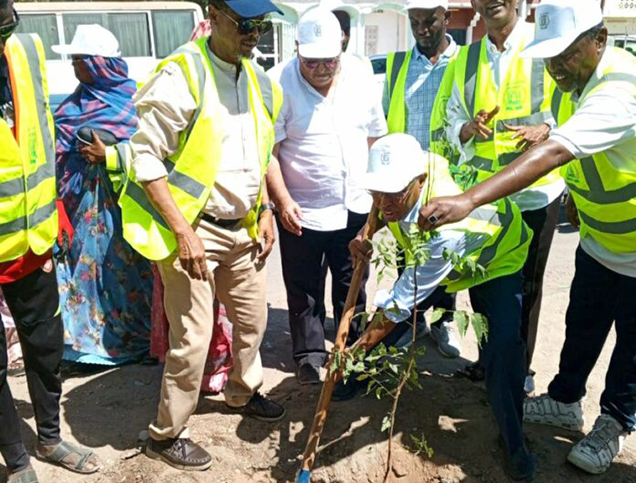
Approach Words: Environment Preservation, Sustainability, Urban Resilience
Public Policy Instruments: Physical Intervention, Planning, Regulatory
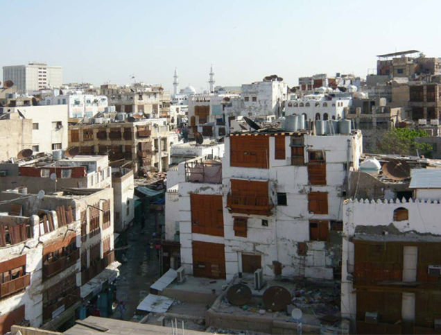
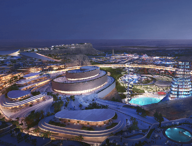
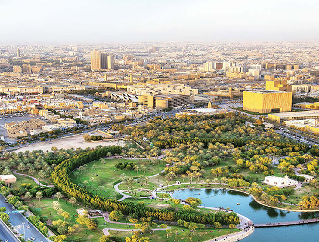
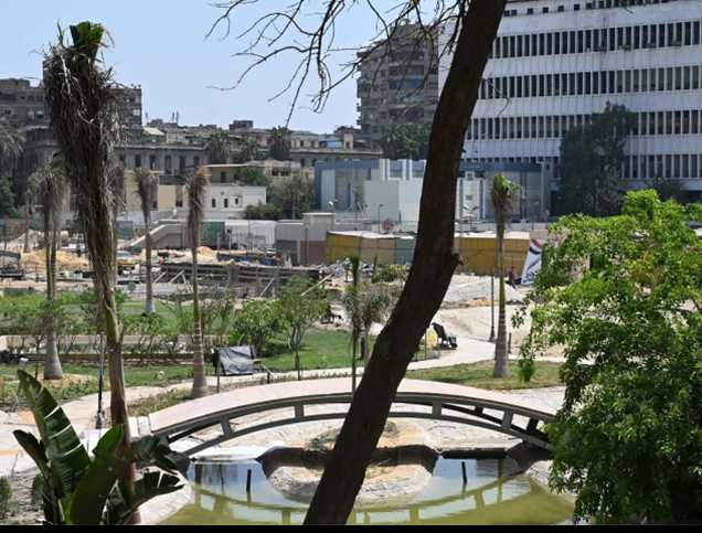
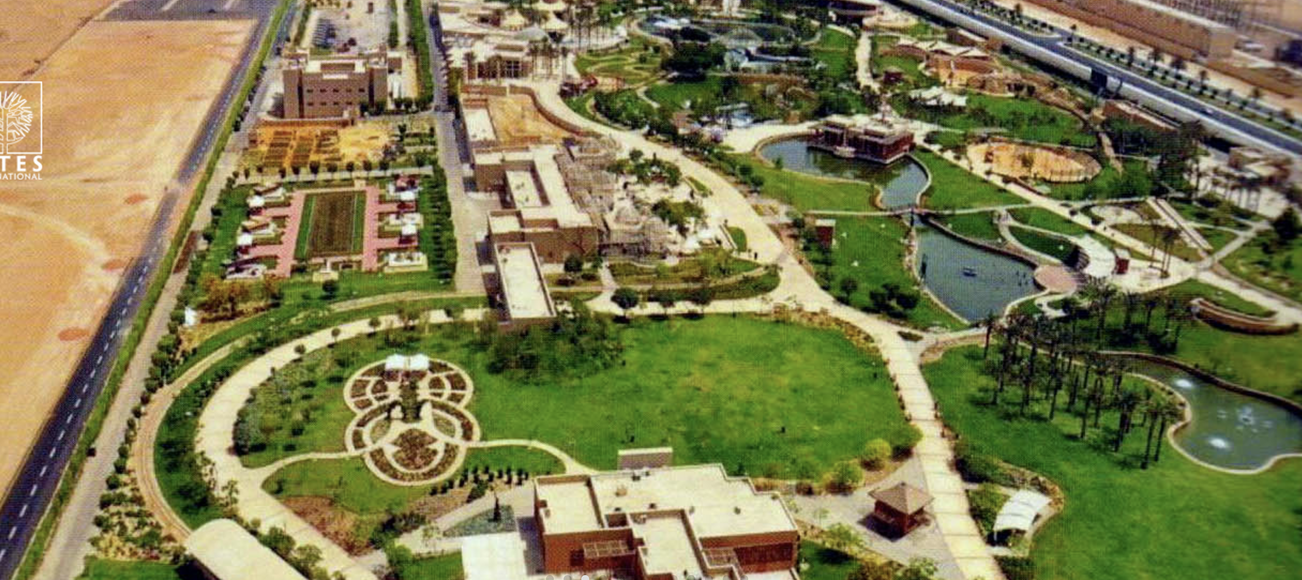
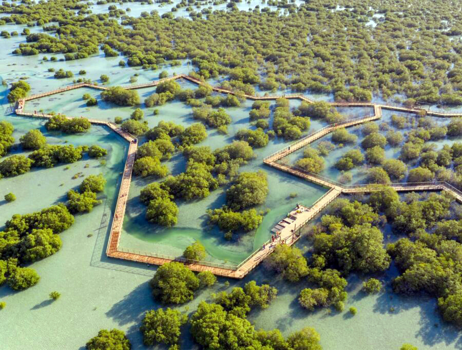
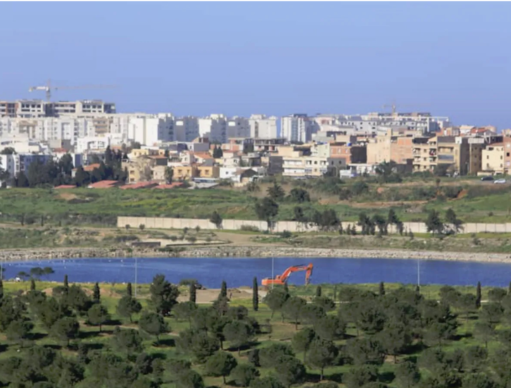
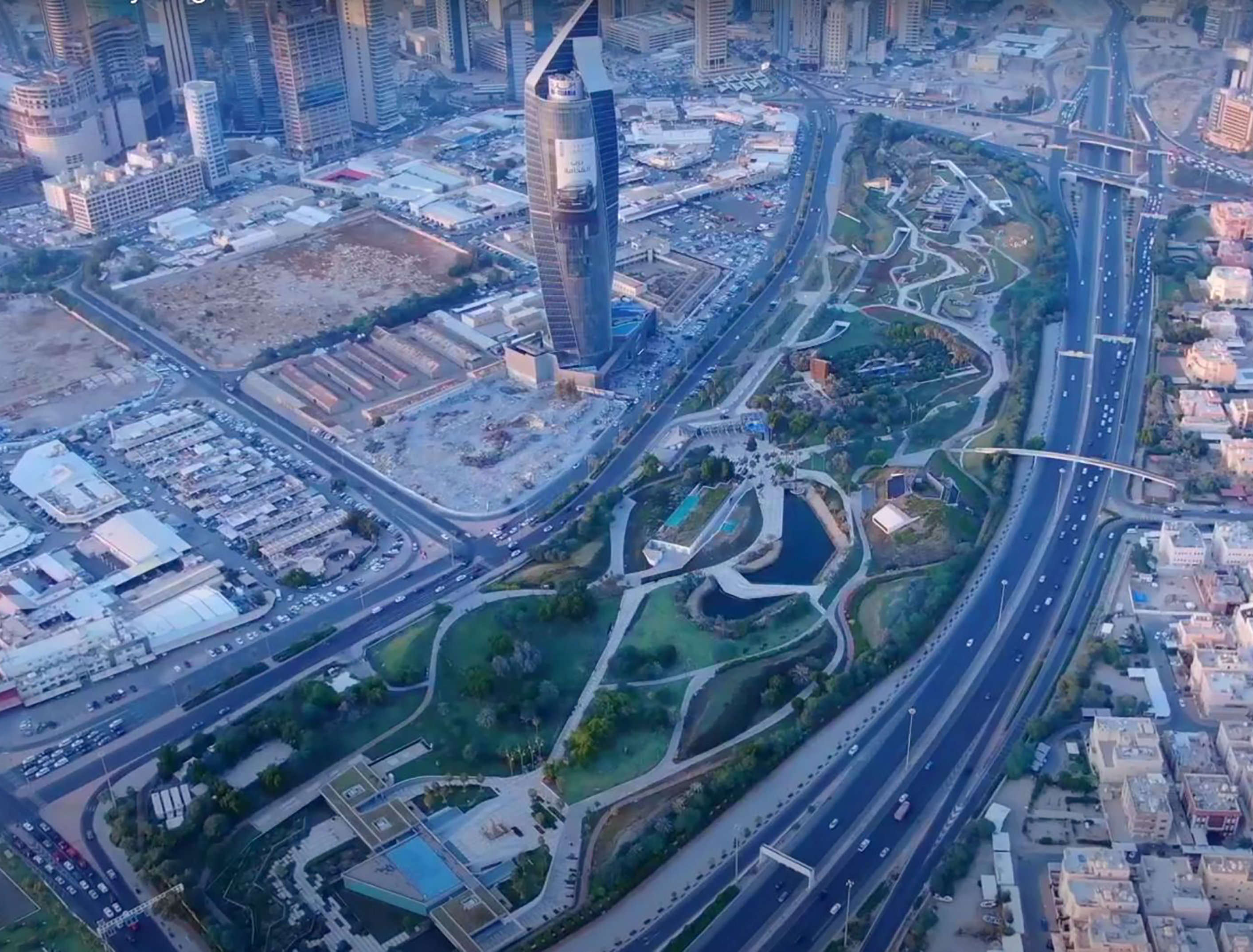
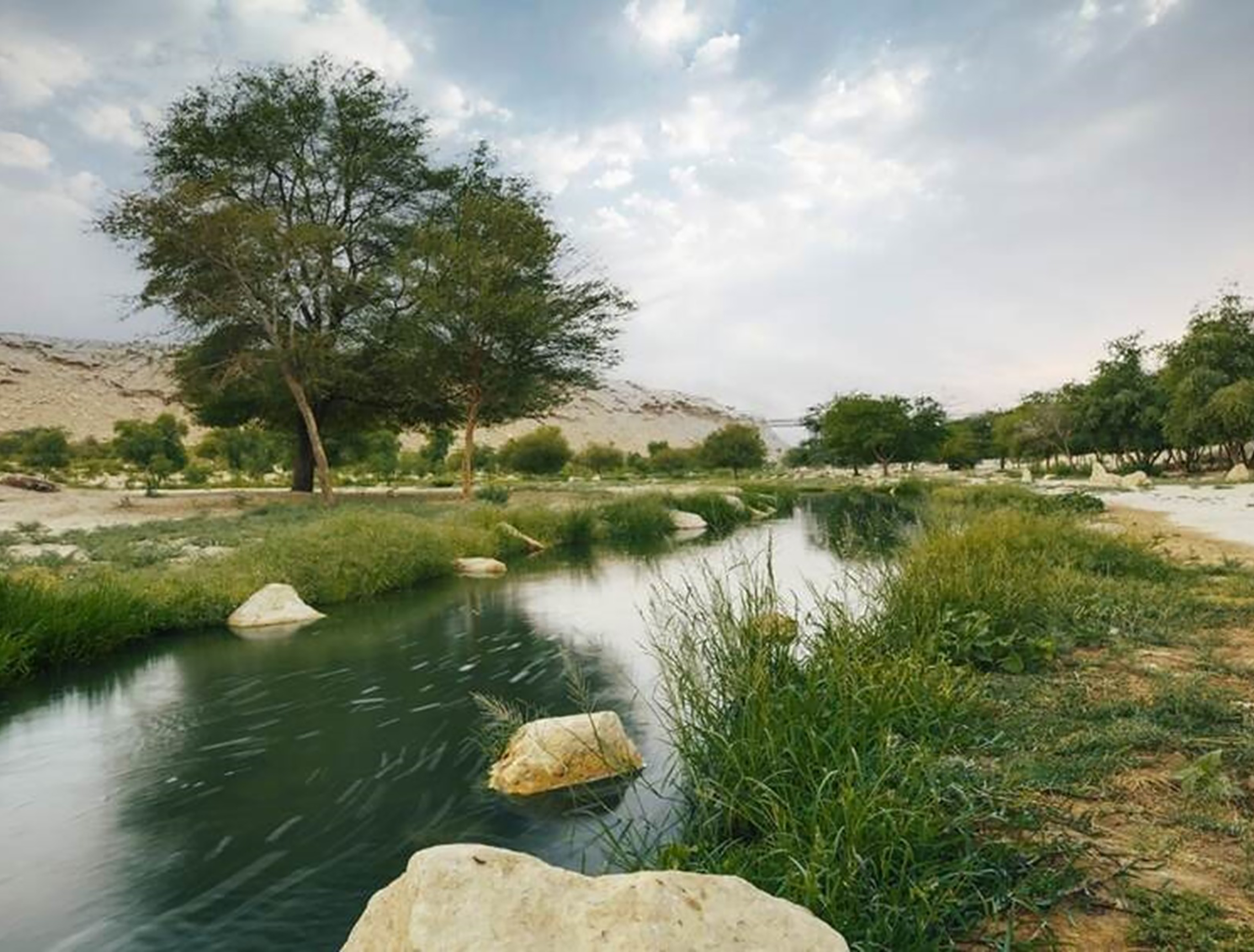
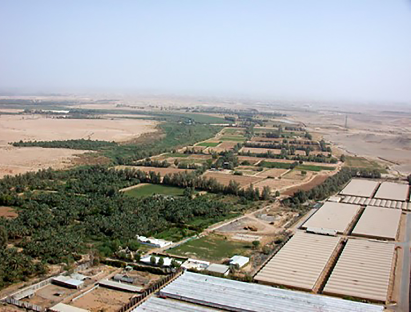
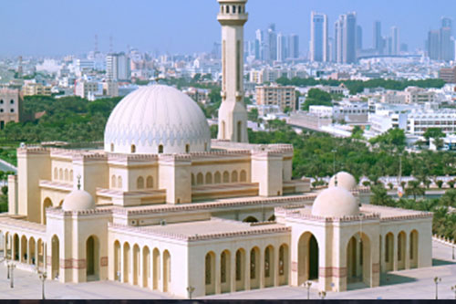
Wadi Hanifah is located in the dry region of Najd in central Saudi Arabia1. It was historically known as Wadi al-Ard, after the tribe Bani Hanifa that inhabited the valley2. It has served as an important agricultural site for historic settlements, and is home to the heritage site of Al Dir’iyyah3. With an area of over 4,000 square kilometers that act as a natural water drainage, the valley also includes wetlands that are popular as recreational sites4.
The expansion of Riyadh city towards the west bank of the valley increased the demand for water, subsequently impacting the water table of the valley which dropped below sustainable limits by the 1980s5. Moreover, construction activities contaminated the ground water and affected the valley’s topography6. Following this, in 1987, the Royal Commission for Riyadh City declared the valley as an environmental reserve7.
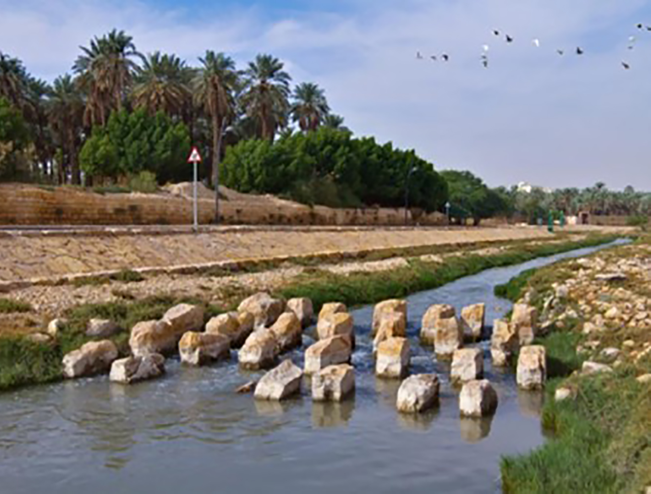
In 2002, a ‘Wadi Hanifah Comprehensive Development Plan’ was approved, aiming to address environmental degradation of the valley8 as well as attract local and foreign visitors9. It held two primary objectives, the first being to restore the natural balance of the valley, and second to utilize the valley as a public space for recreation10. It acted as a master plan to guide all future activities and land use in the valley, including those related to water resources management11.
Title: Wadi Hanifa natural water drainage.
Source: Click Here

Title: Wadi Hanifa waterfall.
Source: Click Here
Title: Wadi Hanifa wetlands.
Source: Click Here
Title: Wadi Hanifa water levels.
Source: Click Here
Title: Wadi Hanifa natural water drainage.
Source: Click Here
Title: Wadi Hanifa waterfall.
Source: Click Here
Title: Wadi Hanifa wetlands.
Source: Click Here
Title: Wadi Hanifa water levels.
Source: Click Here
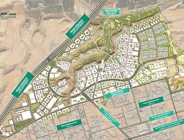
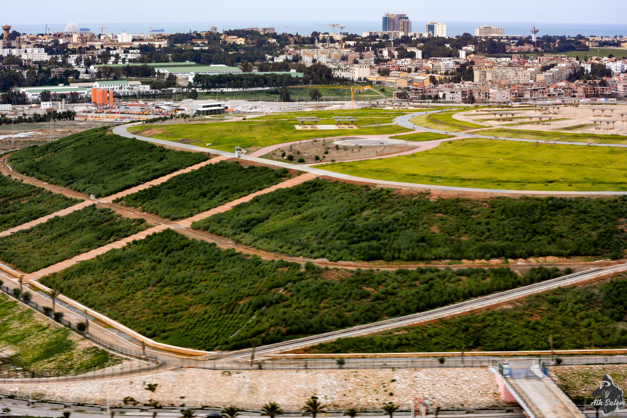
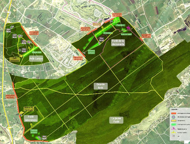
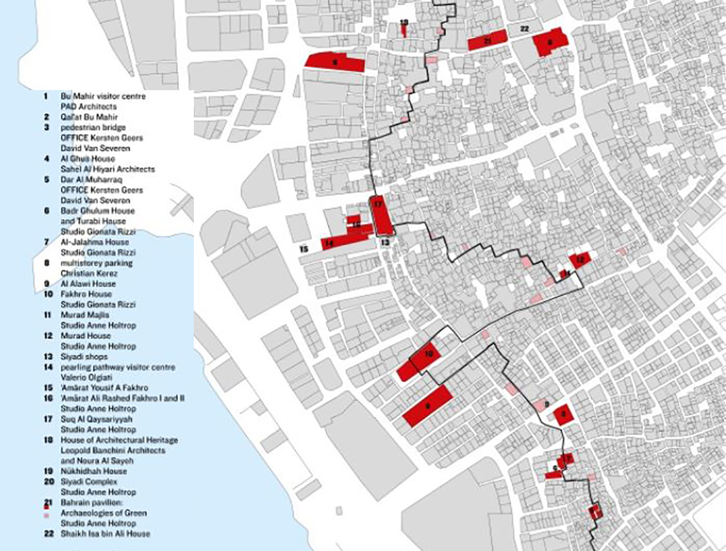
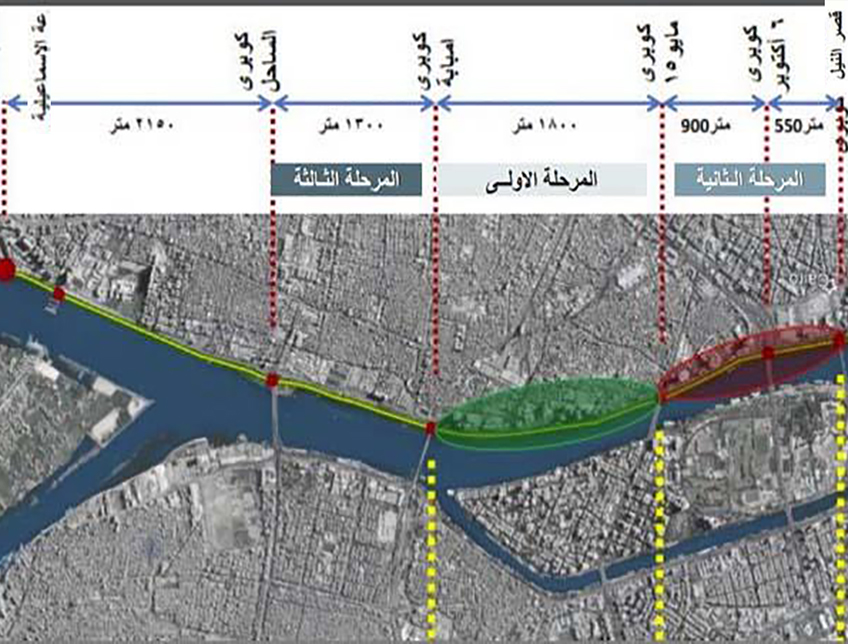
The development plan of Wadi Hanifa classifies it into five zones, which are based on the ecosystem variations, degree of exploitation, and extent of environmental damage12. The north-most zones are those that remain largely preserved due to lack of industrial activity and their distance from the city; they also constitute private farms belonging to wealthy and sometimes royal families13. The third zone is the one that has suffered the greatest degree of damage due to quarrying and dumping activities. The fourth and fifth zones also suffer from degradation as a result of polluted water14. To address all these concerns, the plan consists of five integrated components:

Owner/Developer (Public)


Contractor/Implementer
Owner/Developer (Public)
Contractor/Implementer
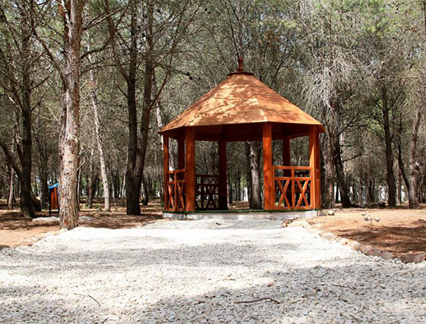
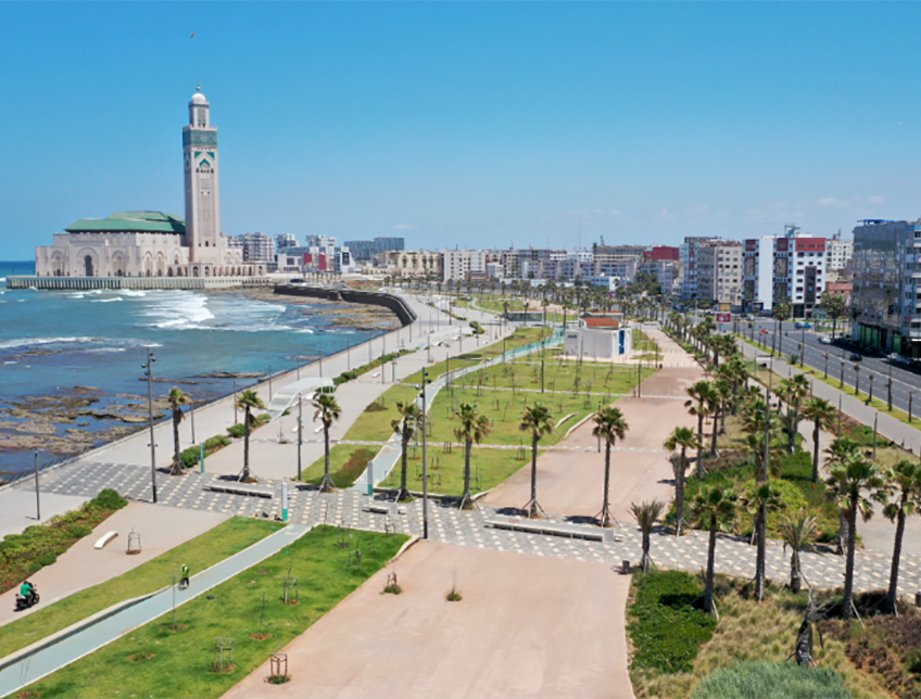
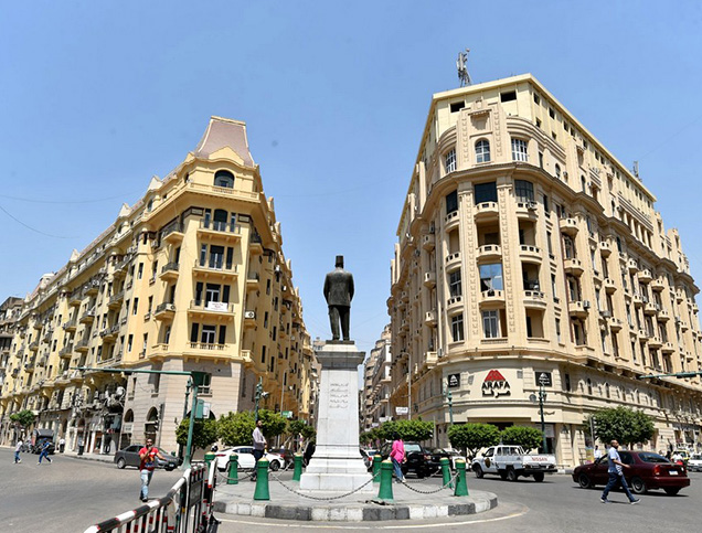
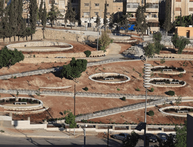
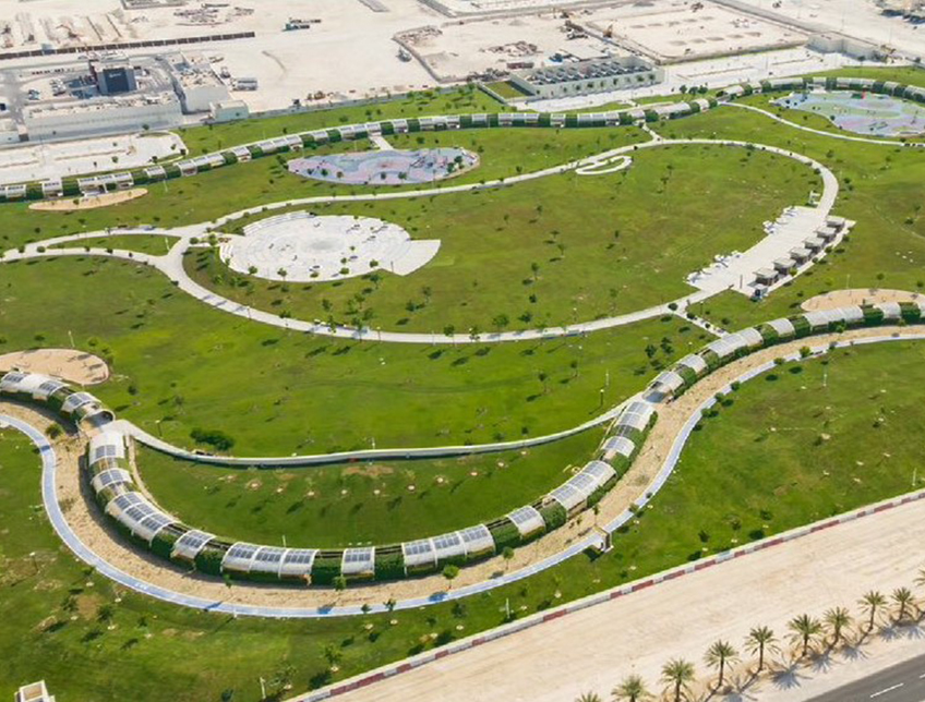
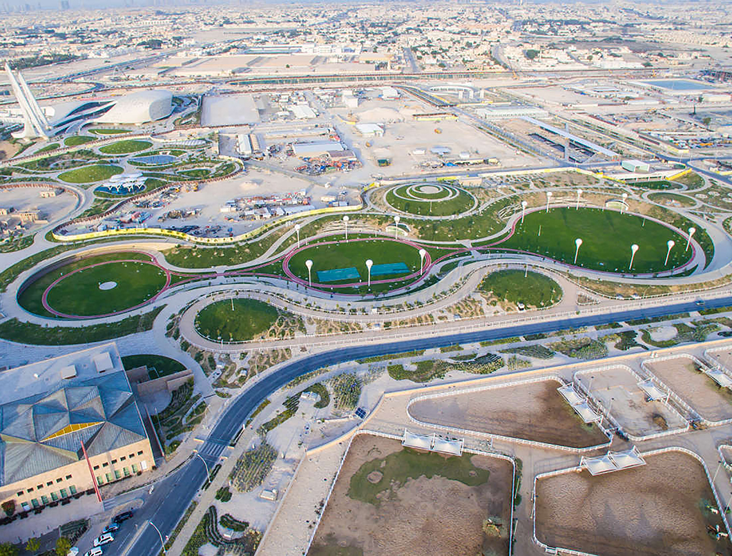
Additionally, pedestrian infrastructure and public spaces were proposed across the valley, in the form of parks, lakes, promenades, and trails27. Some of the main parks established through this project include Elab Dam park, Wadi Hanifah Dam park, Bioremediation facility park, Al-Sadd Al-Hajari Dam park, Factories’ lake park, and Al-Jazah Lake park28. 3,100 lighting fixtures, and 730 signs were also installed across the valley to facilitate visitors29.
The project was led by the Arriyadh Development Authority, with Moriyama and Teshima Planners as the landscape and planning consultants30. Buro Happold and Nelson Environmental acted as engineering and wastewater consultants respectively, and construction was carried out by the Badan Agricultural and Contracting company. The project budget was $1 bilion31, and the rehabilitated valley was inaugurated in 2010 by the Royal Commission for Riyadh City32.
Project Link
https://www.rcrc.gov.sa/en/projects/wadi-hanifah
Endnotes
N.A.
References
An online library where you can explore relevant data on urban development in the Arab cities.
More


Lorem ipsum dolor sit amet consectetur. Lacus nibh neque erat massa elementum. Ultricies ante sed sed nunc massa ider.
Last updated 3 mins ago
Lorem ipsum dolor sit amet consectetur. Lacus nibh neque erat massa elementum. Ultricies ante sed sed nunc massa ider.
Last updated 3 mins ago
Lorem ipsum dolor sit amet consectetur. Lacus nibh neque erat massa elementum. Ultricies ante sed sed nunc massa ider.
Last updated 3 mins ago
Lorem ipsum dolor sit amet consectetur. Lacus nibh neque erat massa elementum. Ultricies ante sed sed nunc massa ider.
Last updated 3 mins ago
Lorem ipsum dolor sit amet consectetur. Lacus nibh neque erat massa elementum. Ultricies ante sed sed nunc massa ider.
Last updated 3 mins ago
Lorem ipsum dolor sit amet consectetur. Lacus nibh neque erat massa elementum. Ultricies ante sed sed nunc massa ider.
Last updated 3 mins ago