Close
Approach Words: Integrated City, Sustainability, Urban Livability
Public Policy Instruments: Communicative, Physical Intervention
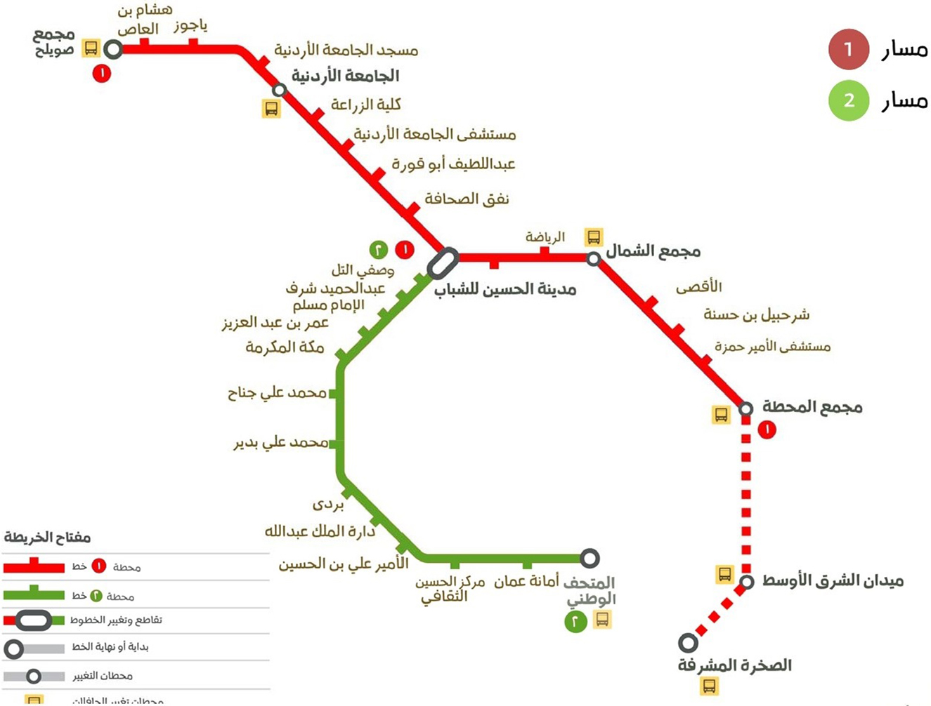
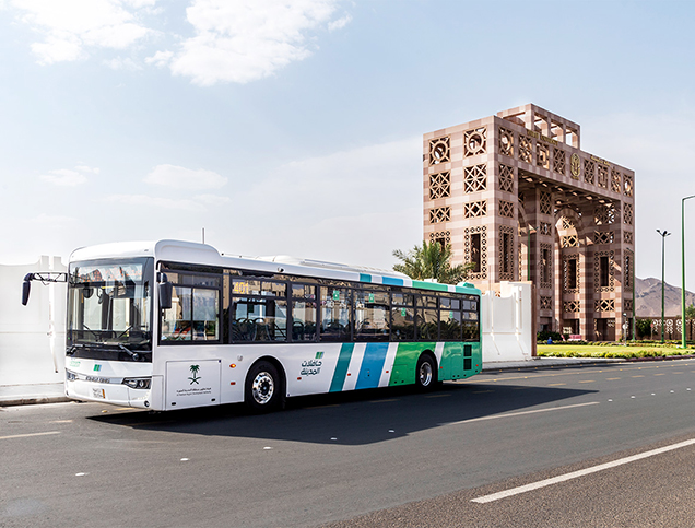
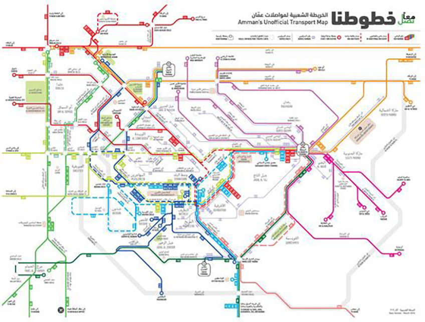
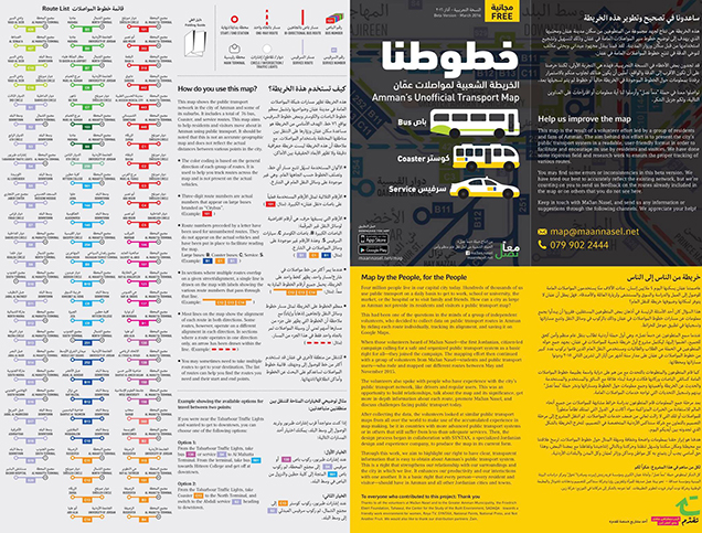
Amman’s Unofficial Transport Map (Khutoutna) is an innovative mapping initiative to streamline Amman’s formal and informal public transportation system.1 It is a visual tool that enables residents to see Amman’s transport system in its entirety.2 The initiative is the first of its kind in Jordan, as it shows most of the routes that are being used by large and small buses as well as some service taxi routes in the urban center of Amman and its suburbs.3
The project aims to make access to Amman’s public transportation system easier for residents and visitors 4and help them plan their trips efficiently. 5 It offers an accurate and easy way to use information on transport routes in Amman.6 It also seeks to be used as a tool to address the different authorities responsible for the transportation system as a baseline map, enabling them to intervene effectively and guide future development of the system. 7
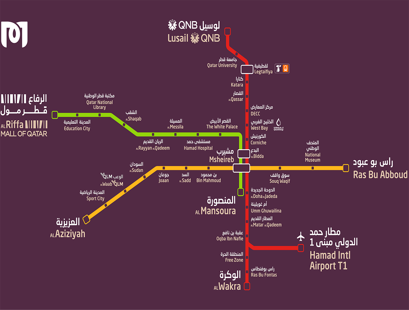
Title: Khutoutna Map
Source: Click Here
Title: Khutoutna Brochure
Source: Click Here
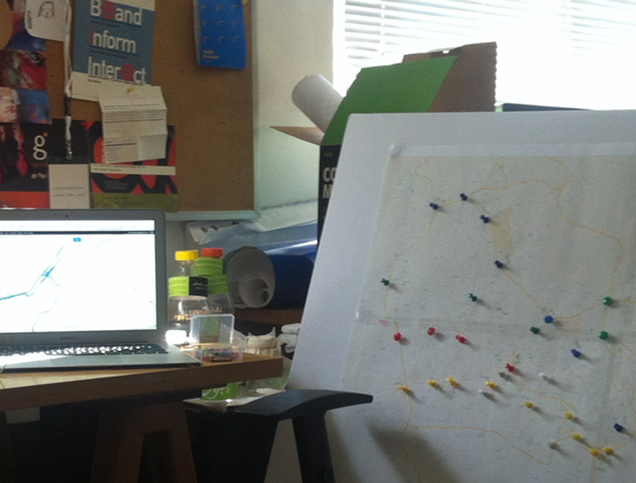
Title: Data Collection and Documentation Phase
Source: Click Here
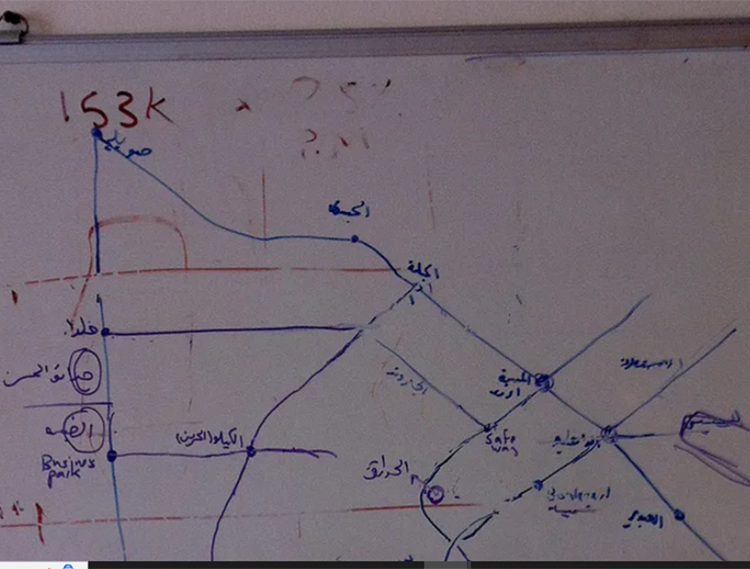
Title: First stages of designing the map
Source: Click Here
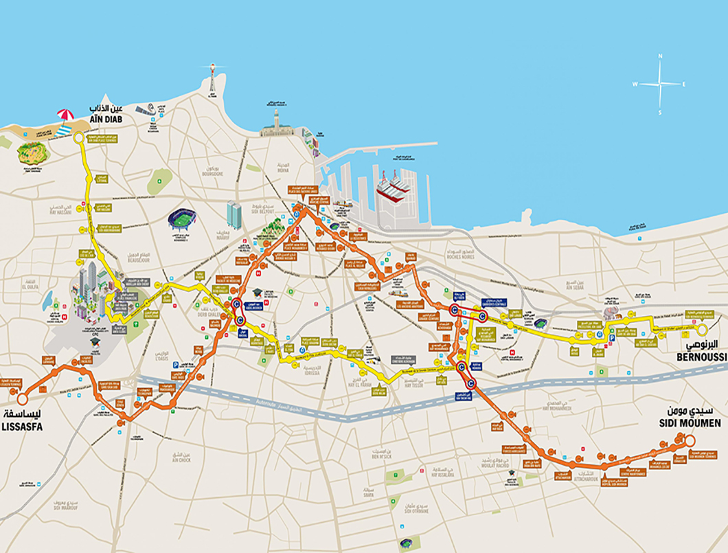
Title: Khutoutna Map
Source: Click Here
Title: Khutoutna Brochure
Source: Click Here
Title: Data Collection and Documentation Phase
Source: Click Here
Title: First stages of designing the map
Source: Click Here
The implementation of the project was done through the following stages: 8 9
The process of designing the map involved several key phases:10

Owner/Developer

Funder

Contractor/Implementer
Owner/Developer
Contractor/Implementer
Funder
The app provides users with tailored travel options based on their entered destination. It offers suggested routes, walking distances to access transport points, and available buses and taxis along the route.11 The map is available in both print and online, the latter on the Maan Nasel website and as an app for Android and iOS.12
The design of the map, including its details, symbols, and visual elements, was based on input from the collective expertise of the project’s volunteer team, which was composed of transport specialists, urban planners, and activists. Additionally, insights were drawn from a rich collection of online case studies. The design process underwent no fewer than a dozen iterations, ensuring a final product that met the team’s high standards of functionality and usability.13
The map was launched by Maan Nasel (Together We Reach), which is a national advocacy group calling for better organized and safer public transportation in the capital.14 The map was designed by SYNTAX design. 15
Project Link
Endnotes
N.A.
References
An online library where you can explore relevant data on urban development in the Arab cities.
More


Lorem ipsum dolor sit amet consectetur. Lacus nibh neque erat massa elementum. Ultricies ante sed sed nunc massa ider.
Last updated 3 mins ago
Lorem ipsum dolor sit amet consectetur. Lacus nibh neque erat massa elementum. Ultricies ante sed sed nunc massa ider.
Last updated 3 mins ago
Lorem ipsum dolor sit amet consectetur. Lacus nibh neque erat massa elementum. Ultricies ante sed sed nunc massa ider.
Last updated 3 mins ago
Lorem ipsum dolor sit amet consectetur. Lacus nibh neque erat massa elementum. Ultricies ante sed sed nunc massa ider.
Last updated 3 mins ago
Lorem ipsum dolor sit amet consectetur. Lacus nibh neque erat massa elementum. Ultricies ante sed sed nunc massa ider.
Last updated 3 mins ago
Lorem ipsum dolor sit amet consectetur. Lacus nibh neque erat massa elementum. Ultricies ante sed sed nunc massa ider.
Last updated 3 mins ago